Heatwaves, Thunderstorms And Floods All Expected Across The East Coast
Dangerous fire conditions in QLD
A pandora’s box of weather conditions across the east coast is forecasted for Monday with Queensland on alert fire alert while New South Wales, Victoria and Tasmania braces for thunderstorms, flooding and even snow.
Stay up-to-date on the latest news with The Queensland Briefing - keeping you in the loop with news as it hits:
Queensland
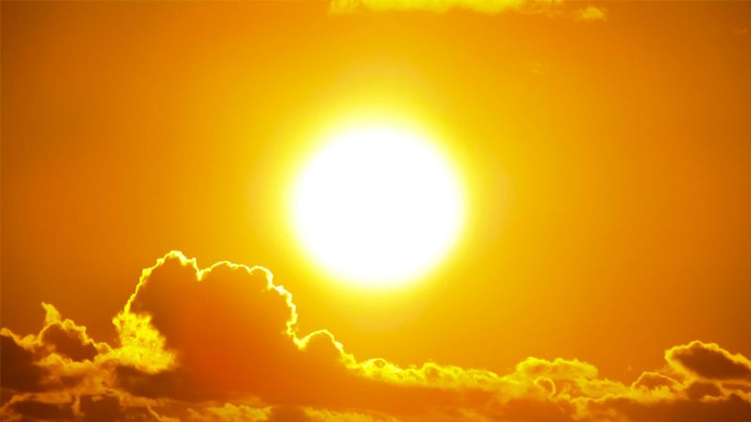
An extreme fire danger is in place for the southern part of Queensland, while up north, residents are experiencing a heat wave.
Scorching temperatures will be paired with high humidity with large parts of Queensland also set to face storms later Monday.
The stormy weather comes after thousands were left with no power on Sunday, with hail stones the size of cricket balls falling in some areas.
Meteorologist Olivio Regano said to News Corp dry west to south-westerly winds combined with warm temperatures are expected to cause elevated fire dangers over southeast Queensland on Monday.
“Hot and humid north-westerly winds have turned around to become dry south-westerly winds,” he said.
“Hot, dry, windy conditions are conducive to elevated fire danger.”
Up north, the Peninsula, North Tropical Coast and Tablelands and Central Coast and Whitsundays Districts remain under a severe heatwave warning.
New South Wales
NSW SES is urging Deniliquin residents to evacuate by Wednesday ahead of major flooding expected.
Damaging westerly winds are anticipated to hit the town on Monday, with the potential to reach up to 90km/h.
Meanwhile, a severe weather warning has been on Monday for areas in the south including Sydney and the Illawarra, Riverina, Snowy Mountains and ACT regions.
Westerly winds again, averaging 50km/h to 70km/h with peak gusts of up to 90km/h are likely.
Victoria and Tasmania
It’s just days outs before the start of summer, but snow is expected on Victoria’s peaks on Monday while severe weather warning has been issued damaging winds across the state, include Melbourne’s CBD.
Although the summer fire danger period has just commenced, the Bureau of Meteorology’s Ilana Cherny said snow could fall on the Alpine Peaks, possibly near the Grampians and even in the Yarra Ranges.
“It’s very cold. We are looking at temperatures today at 8 to 12 degrees below averages of November, and some possibility of small hail across large areas of the state,” she told the Age.
In Tasmania, another cold blast is expected, with snow forecasted above 500 metres on Monday and Tuesday mornings in Hobart and the Derwent Valley.
Thunderstorms with possible hail and snow are also forecast to hit the Central Plateau forecast district on Monday and Tuesday with overnight temperatures as low as minus three degrees.
Introducing The Science Briefing: a podcast about the science of everything and your new go-to podcast for your snapshot of science news. Hosted by Dr Sophie Calabretto and featuring journalists from Cosmos Magazine. Hear is on the LiSTNR app now.